PhotoRally › Articles › OpenStreetMap in Games: How Real Cities Become Race Tracks
OpenStreetMap in Games: How Real Cities Become Race Tracks
· Updated 2026-10-25
How game developers use OpenStreetMap data to build real-city environments and race tracks.
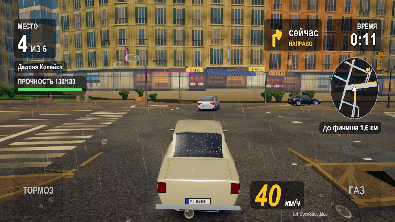
OpenStreetMap (OSM) is a free, editable map of the world. Game developers use it to build realistic city environments.
What OSM provides
- Road networks and layouts.
- Building footprints.
- Landmarks and points of interest.
- Elevation data in some areas.
From map to game
Developers import OSM data, generate 3D geometry, and place gameplay elements. PhotoRally uses OSM to build race routes through Moscow, Saint Petersburg, Lisbon and Barcelona.
Why it matters
Real data makes worlds recognizable and immersive. Players race on streets they might actually walk.
Get a closed-test code and play PhotoRally